🔑 Key Takeaways
- Tropical Storm Arthur brings 40-45 mph winds and severe 6-10 inch flood risks to the Texas coast.
- Modern weather tracking apps ingest high-resolution NOAA data to deliver minute-by-minute localized forecasting.
- The free tiers of major weather applications often monetize through intrusive ads and aggressive data sharing.
The Architectural Reality of Weather Tracking Apps

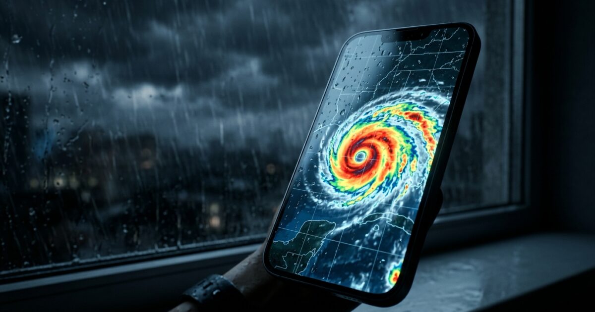
As of June 17, 2026, Tropical Storm Arthur—the first named storm of the Atlantic hurricane season—has formed in the Gulf of Mexico. Positioned off the Texas coast and moving steadily in a northeast direction, it brings a severe threat of life-threatening flash flooding to the region. While it is considered a weak tropical storm with maximum sustained winds of approximately 40–45 mph and is not expected to significantly strengthen, the meteorological impact is immense. Forecasts indicate baseline rainfall totals of 3–5 inches, but localized rainfall amounts could potentially reach 6–10 inches or higher in some areas. Furthermore, an expected outbreak of severe thunderstorms across portions of the Midwest compounds the atmospheric chaos. In the face of such meteorological turbulence, the reliance on advanced weather tracking apps has never been higher. These applications are not merely simple user interface wrappers displaying a sunny or cloudy icon; they are highly complex Networking & Cloud platforms designed to ingest, process, and distribute massive streams of atmospheric telemetry in real-time.
Think of mobile weather platforms as a global air traffic control system for atmospheric data: they ingest massive streams of unorganized telemetry from high-resolution satellites, global Doppler radars, and ground-level sensors, and route actionable intelligence directly to the endpoints (users) precisely when they need it. The underlying architecture relies heavily on high-throughput data pipelines using message brokers like Apache Kafka or AWS Kinesis to handle the millions of data points generated every second. Applications like Clime integrate high-resolution NOAA radar with severe weather alerts for multiple hazards, effectively running high-performance computing algorithms to render complex spatial data sets onto a mobile screen. Meanwhile, AccuWeather leverages its proprietary ‘MinuteCast’ feature to deliver hyper-localized precipitation updates. This demands intense backend data orchestration, ensuring that high-availability servers can seamlessly deliver life-saving push notifications—such as government-issued Wireless Emergency Alerts (WEA) which provide critical information regarding immediate threats—without latency during peak usage spikes.
To understand the sheer scale of this engineering feat, one must look at tools like Zoom Earth, an incredibly useful tool for visualizing live satellite imagery and interactive weather maps. The data pipelines required to stream real-time visual planetary data necessitate sophisticated content delivery networks (CDNs) and distributed cloud edge environments. When a Tropical Storm Warning is prompted for coastal areas of Texas and Louisiana, millions of users simultaneously query the servers for updates. The architecture must dynamically scale to handle this sudden burst in API calls—often requiring auto-scaling Kubernetes clusters and serverless compute functions. This reflects a masterclass in modern DevSecOps and highly resilient cloud computing. The orchestration of these data lakes, combining raw weather data with precise user geospatial coordinates, requires a backend capable of processing petabytes of information with sub-second latency, ensuring that the end-user receives accurate forecast models exactly when they need them.
Market Impact and Deployment Challenges
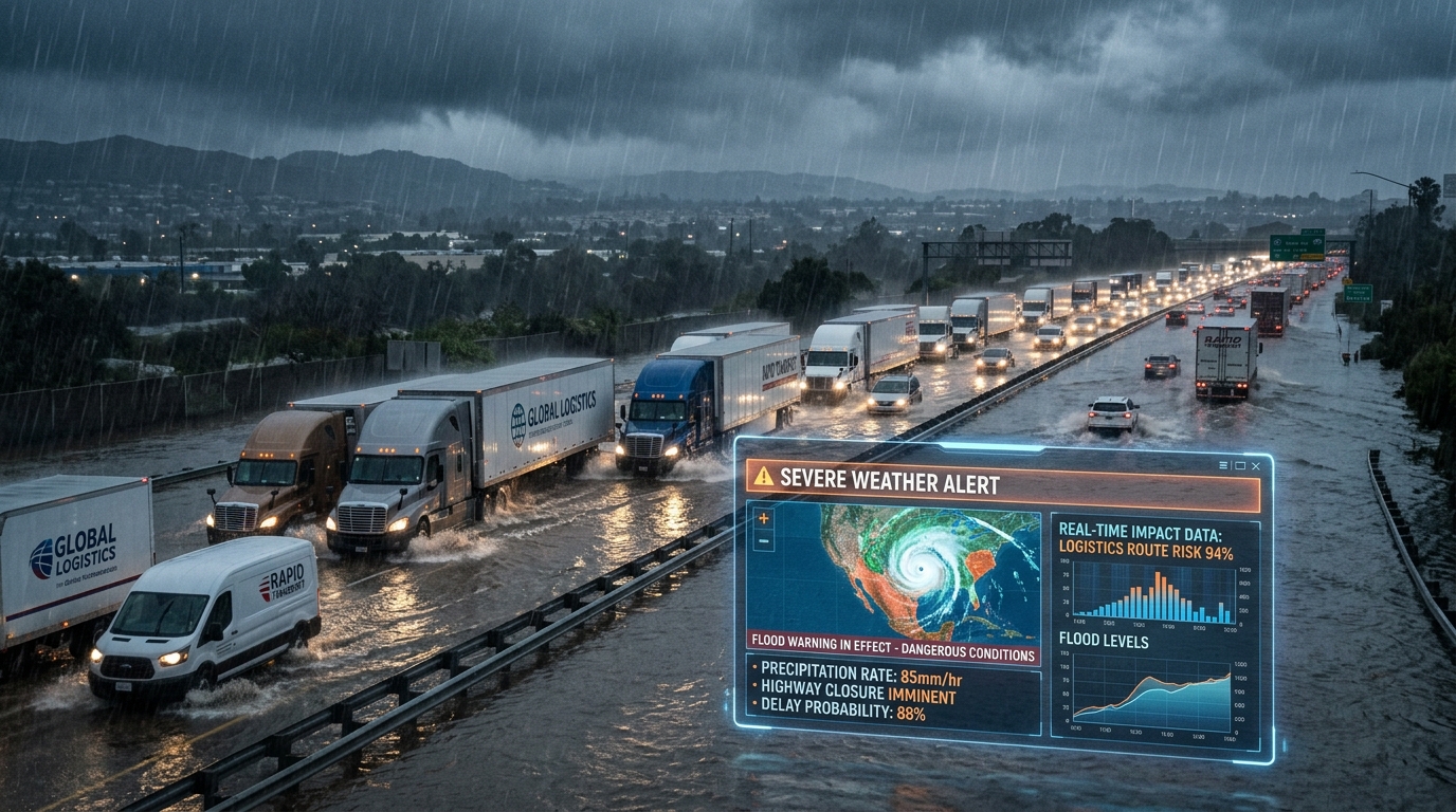
The enterprise deployment of these meteorological tools significantly impacts the broader economy and corporate infrastructure on a global scale. In sectors like global logistics, commercial agriculture, and supply chain management, minimizing weather-related delays directly translates to drastically reduced Total Cost of Ownership (TCO) and optimized resource allocation. Enterprise IT infrastructures increasingly depend on robust application programming interfaces (APIs), commonly utilizing REST or GraphQL frameworks, from services like The Weather Channel. This app features interactive radar maps with customizable layers for wind, lightning, and temperature, allowing sophisticated fleet management dashboards to seamlessly reroute shipments in real-time. By dynamically shifting logistics routes, corporations can effectively avoid the heavy rainfall and localized flash floods predicted to strike eastern Texas or southwestern Louisiana. As Arthur is forecast to move inland and likely dissipate by late Wednesday or early Thursday, the risk of prolonged, heavy rainfall and flash flooding persists long after the center passes, necessitating continuous data streaming for ongoing, uninterrupted risk mitigation.
Furthermore, specialized platforms cater directly to niche operational needs, providing highly granular data that generic models might miss. For example, My Hurricane Tracker provides comprehensive tracking maps, exact NOAA forecast cones, and high-definition satellite imagery, while Tropical Hurricane Tracker offers regional tracking maps designed specifically for hurricane-prone areas. Enterprise risk managers use these advanced dashboards to secure physical corporate assets, reposition valuable inventory, and strategically deploy emergency response teams days ahead of an anticipated landfall. Similarly, the Hurricane & Typhoon Track app monitors global activity and features precise storm surge probability indexing, a critical metric for coastal infrastructure planning, real estate development, and insurance liability assessment.
However, maintaining true 99.99% uptime Service Level Agreements (SLAs) during a localized natural disaster presents a profound, often underappreciated engineering challenge. Weather tracking platforms must dynamically scale their edge computing resources to handle the massive surge of traffic from panicked citizens and automated systems incessantly checking weather conditions. The computing cost associated with querying complex geographic information systems (GIS) under extreme load can lead to significant cloud cost management hurdles, occasionally forcing providers to throttle API requests. An application must meticulously balance the need for high-fidelity, high-resolution radar images against the harsh bandwidth constraints of cellular networks that may themselves be degraded or entirely knocked offline during severe summer storms. This continuous operational tightrope highlights the inherent tension between delivering deep technical insights and maintaining a highly available, robust consumer-facing service in the midst of a crisis.
The Consumer Translation: Privacy vs. Utility
For the general public, the translation of this complex cloud technology is incredibly straightforward: hyper-localized safety, unparalleled convenience, and the unique ability to navigate deeply unpredictable natural environments. Whether anticipating the impending severe thunderstorms across the Midwest or monitoring the specific, shifting trajectory of Tropical Storm Arthur, professional-grade tools—previously strictly reserved for academic meteorologists and commercial aviation experts—are now a staple of everyday Consumer Tech. Applications like WeatherWise are highly popular for delivering professional-grade, high-resolution radar data often used by elite storm chasers, thereby putting immense analytical power directly into the hands of ordinary citizens. This paradigm shift allows everyday users to make critical, rapid micro-decisions, from delaying a morning commute for ten minutes to fully evacuating a designated flood zone based entirely on minute-by-minute smartphone forecasting.
Yet, a rigorous red team audit of the broader mobile weather app ecosystem reveals a significant, structurally obscured trade-off hidden beneath these “free” services: the absolute commodification of user privacy. The underlying reality of this industry is that high-resolution data ingestion, real-time machine learning inference, and massive cloud hosting are exceptionally expensive. To subsidize these immense operational costs, the primary monetization strategy for many top-tier weather applications involves incredibly aggressive data harvesting via embedded third-party Software Development Kits (SDKs). Weather Underground’s privacy policy, for instance, explicitly notes the use of your data for targeted advertisements, while other major platforms share persistent, highly accurate GPS location data, unique device identifiers, and granular behavioral metrics with third-party tech giants, data brokers, and advertising networks.
The “free” tier’s true cost, therefore, is the gradual erosion of digital privacy and personal anonymity. Users are essentially forced into exchanging their precise, real-time geospatial telemetry for access to crucial NOAA radar feeds. This asymmetrical relationship forces consumers to navigate a deliberately complex landscape of confusing opt-outs, hidden privacy settings, and expensive premium paywalls just to protect their digital footprint. In an era where behavioral data is a highly valued corporate commodity, the widespread deployment of these sophisticated meteorological tools raises crucial questions about informed consent and the ethical boundaries of utility software. As users rely heavily on these mobile platforms to survive severe weather events, they inadvertently feed massive, unregulated data lakes that profile their daily routines, exposing a systemic vulnerability in the consumer tech marketplace that regulators are only just beginning to address.
Frequently Asked Questions
Q1: What is the current status of Tropical Storm Arthur?
A1: As of June 17, 2026, Arthur is positioned off the Texas coast with 40-45 mph winds and is expected to move inland over eastern Texas or southwestern Louisiana. It brings significant flash flooding risks with localized rainfall reaching 6-10 inches.
Q2: Which weather tracking apps offer the most detailed radar?
A2: Apps like Clime integrate high-resolution NOAA radar, while AccuWeather provides MinuteCast for precipitation updates. WeatherWise is also highly regarded for providing professional-grade radar data favored by storm chasers.
Q3: Do free weather applications sell user data?
A3: Yes, many free applications rely heavily on data monetization to offset cloud costs. For example, Weather Underground explicitly states it uses data for targeted ads, and other platforms frequently share location data with third-party partners.
TechNode HQ Verdict: Pros, Cons & Usability
- Pro (Engineering): Seamless integration of high-resolution NOAA radar and localized MinuteCast data via robust, auto-scaling cloud architectures capable of handling massive telemetry loads.
- Pro (Consumer): Empowers individuals with critical, life-saving Wireless Emergency Alerts and live satellite imagery to safely navigate severe weather events.
- Con: Intrusive ad-supported models and aggressive monetization of granular user location data by third-party brokers, compromising digital privacy.
- Con: Potential for backend latency, high cloud expenditure, and API throttling during massive traffic spikes caused by sudden, localized disasters.
Enterprise Usability: CTOs and supply chain managers should leverage enterprise-grade weather APIs to automate logistics risk management, ensuring that corporate data pipelines remain isolated from the privacy pitfalls of consumer-tier applications.
Everyday Usability: The public should absolutely utilize these powerful radar tools for situational awareness during severe storms, but should seriously consider subscribing to premium tiers or rigorously auditing app permissions to mitigate aggressive location tracking.